 4.2°C Brandon,CA

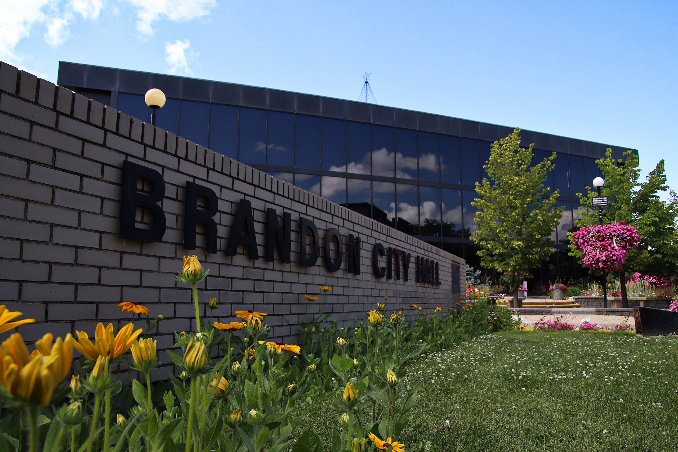
Province Issues March Flood Outlook For 2017
 by Staff - March 25, 2017
 49
49


The March 2017 Flood Outlook was released today by Manitoba Hydrologic Forecasting and Coordination Branch of Manitoba Infrastructure.
Flood risk ranges from moderate to major due to above normal soil moisture in the watershed and near normal to below normal snow water equivalent in the snow pack. Ultimately what happens will be dependent on additional snow and rain and the rate of the melt. Timing of spring thaw in the various river basins will also have an impact in that as more areas melt at the same time, they collectively add to the flow and ultimately stress the drainage and river systems. This can also increase peak levels as can additional precipitation during run-off.
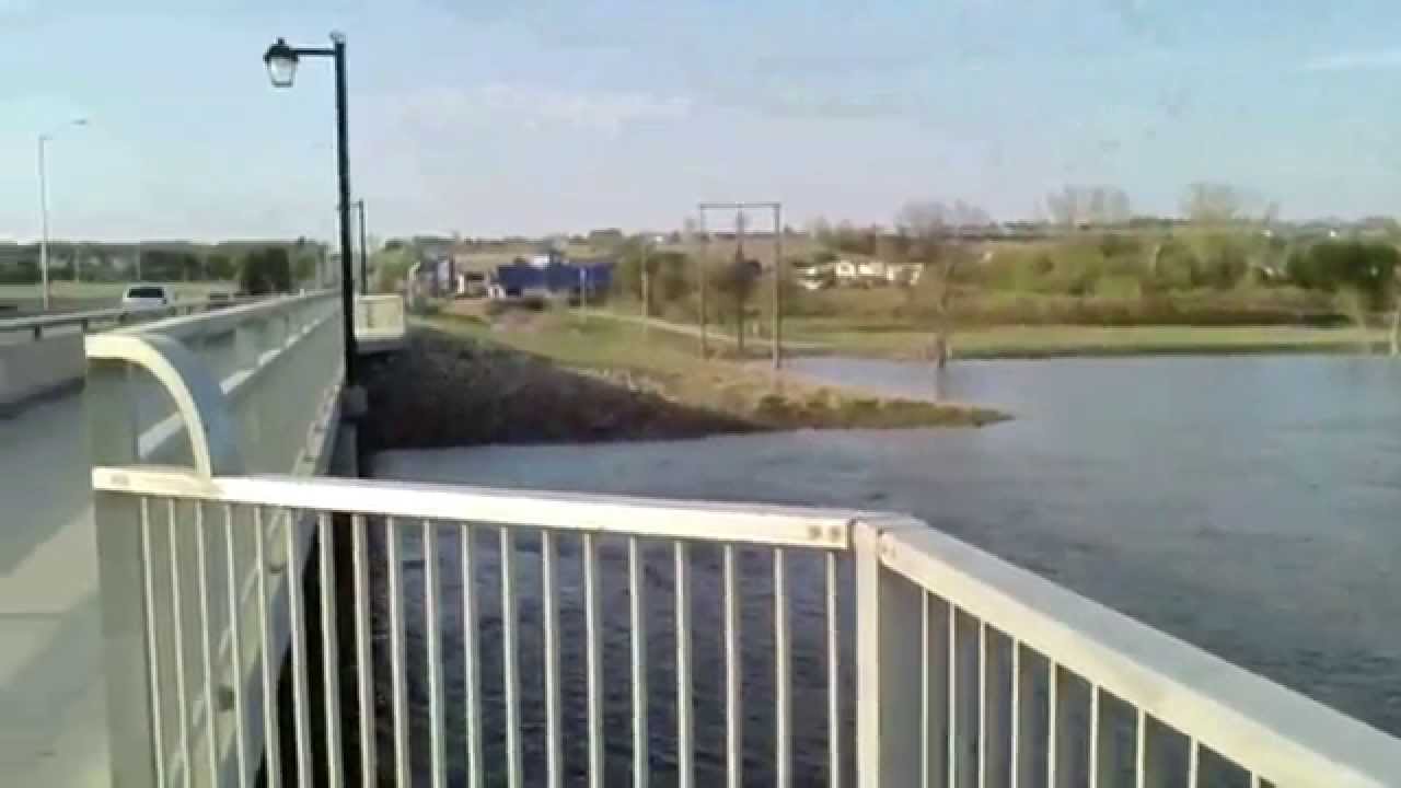
All measurements that follow are in feet above sea level measured at First Street, Brandon Manitoba.
o Favourable weather: minor risk of flooding
The range this Outlook provides for Brandon begins with 1170 feet above sea level for favourable conditions.This means an ideal gradual melt with temperatures slightly above and then slightly below zero until the melt is done throughout the Assiniboine River basin. At this level the river should remain within its banks although there may be locations where very minor overbanking occurs.
o Normal weather: moderate risk of flooding
With normal conditions the river level may go to 1174 feet above sea level. This means a gradual melt without large amounts of precipitation and also without several of the basins reaching peak at the same time. With this we can expect water overbank in the recreational areas along the river.
o Unfavourable weather: major risk of flooding
With unfavourable conditions the river level may work its way towards 1178.8 feet above sea level. This means conditions like a delayed and then sudden melt over large areas and could also include significant precipitation and/or several basins peaking together. With this we can expect a lot more work with the closing of the Grand Valley Road, maintaining pumps, continuous dike inspection and overall vigilance. As many of you are aware, as the threat increases our response increases and the level of difficulty in our decisions also increases.
Historic levels at Brandon: 1995 1178.80, 1976 1179.54, 2011 1182.89, 2014 1183.10, 1882 1183.70 feet above sea level measured at First Street.
Our current dike level is 1186.0 feet above sea level measured at First Street. Flood stage is considered as 1172 fasl.
The complete report is available: https://www.gov.mb.ca/flooding/